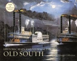
Historic Maps and Views of Chicago contains twenty-four historic maps and views of Chicago and its environs? Dating from the 1700s through the present? Ready for framing in a custom format or in a standard 11? x 14? frame. This stunning and fascinating selection of images from The Granger Collection includes Jean Baptiste Pointe du Sable's cabin in 1820, Abraham Lincoln's funeral, maps before and after the great fire of 1871, the first skyscraper, images of the "White City" from World's Columbian Exposition in1893, as well as art from the groundbreaking 1909 Chicago Plan. Each image's original printing information is provided, as well as additional information that places it in historic context and further illuminates its qualities. Each image is exquisitely reproduced to show off its color and detail.
The perfect gift for lovers of travel, history, or art.