
All Formats & Editions
1 - 2 of 2 results found
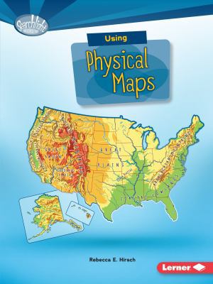
Using Physical Maps
Edition Description
Have you ever wondered which countries have the most lakes? Or where the highest point in your state is? Physical maps show landscape features. They also often show land elevation, or how high the land is above sea level. But how do you use physical maps? And what do the different...
Edition Details
Format:Paperback
Language:English
ISBN:1512412937
Format: Paperback
Temporarily Unavailable
0 people are interested in this title.
We receive fewer than 1 copy every 6 months.
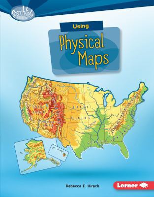
Using Physical Maps
Edition Description
Have you ever wondered which countries have the most lakes? Or where the highest point in your state is? Physical maps show landscape features. They also often show land elevation, or how high the land is above sea level. But how do you use physical maps? And what do the different...
Edition Details
Format:Library Binding
Language:English
ISBN:1512409499
Format: Library Binding
Condition:
$
18.19
Save $12.46!
List Price: $30.65
Almost Gone, Only 1 Left!
Copyright © 2026 Thriftbooks.com
Terms of Use | Privacy Policy | Do Not Sell/Share My Personal Information | Cookie Policy | Cookie Preferences | Accessibility Statement
ThriftBooks ® and the ThriftBooks ® logo are registered trademarks of Thrift Books Global, LLC
ThriftBooks ® and the ThriftBooks ® logo are registered trademarks of Thrift Books Global, LLC
