


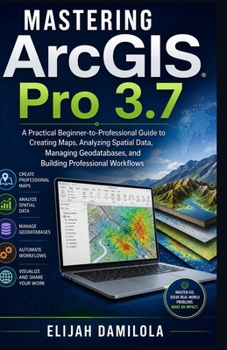
Mastering ArcGIS Pro 3.7: A Practical Beginner-to-Professional Guide to Creating Maps, Analyzing Spatial Data, Managing Geodatabases, and Building Professional Workflows

Mastering ArcGIS Pro 3.7 is a practical, comprehensive guide designed to take you from the fundamentals of Geographic Information Systems to confident, professional-level GIS workflows. Whether you are a beginner taking your first steps into GIS, a student developing practical skills, a researcher working with spatial data, or a professional seeking to improve your ArcGIS Pro capabilities, this book provides a structured pathway for building useful, transferable skills.
Beginning with an introduction to ArcGIS Pro 3.7 and essential GIS concepts, the book explains spatial and attribute data, vector and raster data, real-world GIS applications, installation, licensing, and the ArcGIS Pro project-based environment. You will learn how to navigate the interface, work with the Ribbon and essential panes, manage project files, organize resources, and establish efficient project-management practices.
The book then moves into practical map and data workflows. Learn how to create and manage 2D maps and 3D scenes, add basemaps, navigate geographic information, work with coordinate systems, add local and online datasets, manage feature classes, and connect to databases. Detailed coverage of geodatabases, feature datasets, domains, subtypes, topology, metadata, and data integrity helps you develop reliable data-management habits.
As your skills progress, the guide explores creating and editing spatial data, managing attribute tables, calculating field values, querying and selecting features, using SQL expressions, applying definition queries, and visualizing information through professional symbology, labels, thematic maps, charts, and graphs. It also explains coordinate systems and projections so you can make better decisions about spatial accuracy and avoid common projection problems.
A major focus is spatial analysis and geoprocessing. You will work with tools such as Buffer, Clip, Merge, Dissolve, Project, Select, and Calculate Geometry, while learning how to build repeatable workflows with ModelBuilder and batch processing. The book also covers overlay analysis, spatial joins, raster analysis, satellite imagery, terrain and elevation analysis, hillshade, slope, aspect, contours, and image classification.
For users ready to explore advanced capabilities, the guide introduces 3D GIS, professional map layouts, high-quality map exports, ArcGIS Online integration, web maps, web scenes, sharing, collaboration, and enterprise GIS. It also provides a practical introduction to Python and ArcPy for automating repetitive GIS tasks and developing efficient, reusable workflows.
The final chapters focus on data-management best practices, professional cartographic techniques, real-world GIS applications, enterprise collaboration, troubleshooting common ArcGIS Pro issues, portfolio development, certification preparation, and continuing professional growth.
If you want to build a strong foundation, improve your technical confidence, create better maps, analyze spatial data more effectively, automate repetitive tasks, and develop professional GIS workflows, Mastering ArcGIS Pro 3.7 provides a practical roadmap for the journey from beginner to professional GIS analyst.
Customer Reviews
ThriftBooks ® and the ThriftBooks ® logo are registered trademarks of Thrift Books Global, LLC
