


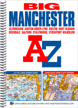
Manchester Big A-Z Street Atlas
No Customer Reviews

This spiral bound Big map of Manchester includes coverage of:*Manchester*Altrincham*Ashton-under-Lyne*Bolton*Bury*Oldham*Rochdale*Salford*StockportThe atlas includes 162 pages of continuous street mapping at a 'Big' 5.2 inches to 1 mile (8.2 cm to 1 km) extending to include coverage of:*Cheadle*Heywood*Hyde*Irlam*Manchester Airport*Poynton*Prestwich*Radcliffe*Ramsbottom*Stalybridge*Swinton*Urmston*WilmslowThere are also large scale city and town centre maps of Manchester, Altrincham, Ashton-under-Lyne, Bolton, Bury, Oldham, Rochdale and Stockport and a postcode map.Postcode districts, one-way streets, safety camera locations with speed limits and National Park boundaries are also featured on the mapping.The index section lists streets; selected flats, walkways and places of interest; place and area names; National Rail and Metrolink stations. There is a separate list of hospitals, hospices and NHS Walk-in Centres covered by the atlas.An easy to follow map of the Manchester Metrolink is featured on the back cover.
Format:Spiral-bound
Language:English
ISBN:1782571280
ISBN13:9781782571285
Release Date:June 2016
Publisher:Geographers' A-Z Map Company Ltd.
Length:272 Pages
Dimensions:6.9" x 10.2"
Customer Reviews
0 rating
Copyright © 2026 Thriftbooks.com
Terms of Use | Privacy Policy | Do Not Sell/Share My Personal Information | Cookie Policy | Cookie Preferences | Accessibility Statement
ThriftBooks ® and the ThriftBooks ® logo are registered trademarks of Thrift Books Global, LLC
ThriftBooks ® and the ThriftBooks ® logo are registered trademarks of Thrift Books Global, LLC
