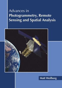
Advances in Photogrammetry, Remote Sensing and Spatial Analysis
No Customer Reviews

Advances in photogrammetry, remote sensing and spatial analysis have occurred due to the rapid technological developments in the last decade. While remote sensing refers to acquiring information from remote places instead of on-site accession, photogrammetry is used to reconstruct measurements of instruments like maps through photographs, particularly regaining exact surface points for precise design. All three fields are integral to each other and have relevance across many different fields of study such as architecture, engineering, space engineering, etc. This book is a valuable compilation of topics, ranging from the basic to the most complex advancements in these fields. It elucidates new techniques and their applications in a multidisciplinary manner. As the fields are emerging at a rapid pace, the contents of this book will help the readers understand the modern concepts and applications of the subject
Format:Hardcover
Language:English
ISBN:164116042X
ISBN13:9781641160421
Release Date:June 2019
Publisher:Callisto Reference
Length:218 Pages
Weight:1.77 lbs.
Dimensions:0.6" x 8.5" x 11.0"
Customer Reviews
0 rating
Copyright © 2026 Thriftbooks.com
Terms of Use | Privacy Policy | Do Not Sell/Share My Personal Information | Cookie Notice | Cookie Preferences | Accessibility Statement
ThriftBooks ® and the ThriftBooks ® logo are registered trademarks of Thrift Books Global, LLC
ThriftBooks ® and the ThriftBooks ® logo are registered trademarks of Thrift Books Global, LLC