All Formats & Editions
1 - 1 of 1 results found
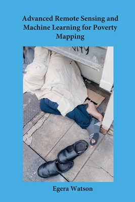
Advanced Remote Sensing and Machine Learning fo...
By Egera Watson
Edition Description
Advanced Remote Sensing and Machine Learning for Poverty Mapping delivers a comprehensive technical exploration of satellite imagery analysis, geospatial data engineering, and machine learning models applied to socioeconomic development and poverty estimation. As global development...
Edition Details
Format:Paperback
Language:English
ISBN:B0HRK7C8T7
Format: Paperback
Condition:
$
25.98
Save $9.01!
List Price: $34.99
Copyright © 2026 Thriftbooks.com
Terms of Use | Privacy Policy | Do Not Sell/Share My Personal Information | Cookie Notice | Cookie Preferences | Accessibility Statement
ThriftBooks ® and the ThriftBooks ® logo are registered trademarks of Thrift Books Global, LLC
ThriftBooks ® and the ThriftBooks ® logo are registered trademarks of Thrift Books Global, LLC