Most Popular Books
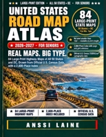
- UNITED STATES ROAD MAP ATLAS 2026–2027 (FOR SENIORS): 84 Large-Print Highway Maps of All 50 States and the District of Columbia, Drawn from Official U.S. Census Road Data, with a 2,800-Place Index
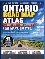
- ONTARIO ROAD MAP ATLAS 2026 – 2027 FOR SENIORS: Large-Print Highway Maps of All 49 Counties, Districts and Regions 400-Series Routes · City Approaches · Rest Stops · Full Place Index