
"Westward the Course of Empire": Exploring and Settling the American West
No Customer Reviews

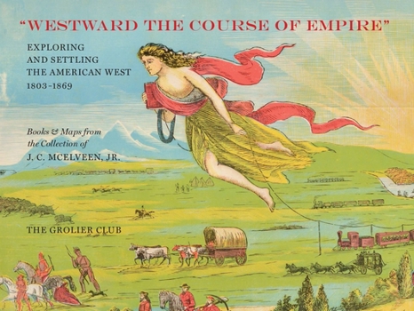
In the nineteenth century, the exploration and settlement of the West exploded. During the 58 years between the Louisiana Purchase and the Civil War, the United States expanded from the Mississippi River to the Pacific Ocean, and, in the far West, from the 32nd Parallel to the 49th. By the late 1850s, almost all of these areas had been mapped and explored. Among the many iconic maps featured in this catalogue, which accompanied an exhibition at the Grolier Club, is Lewis and Clark's map of the Northwest. Published in 1814, it remained the standard against which all mapping of that part of North America was measured for decades.
Format:Paperback
Language:English
ISBN:1605830739
ISBN13:9781605830735
Release Date:July 2018
Publisher:Grolier Club
Length:155 Pages
Weight:1.65 lbs.
Dimensions:0.6" x 11.9" x 8.9"
Customer Reviews
0 rating
Copyright © 2025 Thriftbooks.com
Terms of Use | Privacy Policy | Do Not Sell/Share My Personal Information | Cookie Policy | Cookie Preferences | Accessibility Statement
ThriftBooks ® and the ThriftBooks ® logo are registered trademarks of Thrift Books Global, LLC
ThriftBooks ® and the ThriftBooks ® logo are registered trademarks of Thrift Books Global, LLC
