
West Yorkshire A-Z Street Atlas
No Customer Reviews

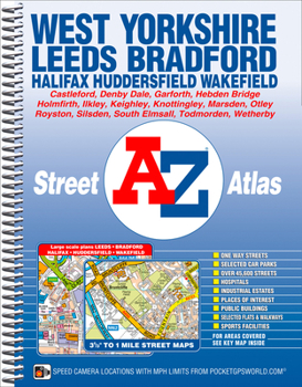
This A-Z map of West Yorkshire is a full colour, spiral bound street atlas featuring 172 pages of continuous mapping covering:*Leeds*Bradford*Halifax*Huddersfield*Wakefield*Dewsbury*Castleford*Ilkley*Wetherby*Knottingley*Holmfirth*Todmorton*Hebden BridgeThere are large scale city and town centre maps of Leeds, Bradford, Halifax, Huddersfield and Wakefield.Postcode districts, one-way streets, safety camera locations with their maximum speed limit are featured on the mapping.The index section lists streets, selected flats, walkways and places of interest, place, area and station names. There is a separate list of hospitals, hospices and NHS Walk-in Centres covered by this atlas.
Format:Spiral-bound
Language:English
ISBN:1782570284
ISBN13:9781782570288
Release Date:March 2014
Publisher:Geographers' A-Z Map Company Ltd.
Length:280 Pages
Related Subjects
TravelCustomer Reviews
0 rating
Copyright © 2026 Thriftbooks.com Terms of Use
| Privacy Policy | Do Not
Sell/Share My Personal Information | Cookie Policy | Cookie Preferences | Accessibility Statement
ThriftBooks® and the ThriftBooks® logo are registered trademarks of Thrift Books Global, LLC
ThriftBooks® and the ThriftBooks® logo are registered trademarks of Thrift Books Global, LLC
