


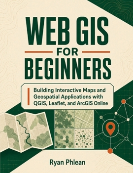
Web GIS for Beginners
No Customer Reviews

You do not need to be an experienced programmer to start building useful, interactive maps for the web.
Web GIS for Beginners takes you from fundamental GIS concepts to designing, building, and deploying geospatial applications with QGIS, Leaflet, OpenLayers, ArcGIS Online, PostGIS, and other widely used technologies. Every topic is explained in approachable language while still giving you the technical foundation needed for real projects.
With this guide, you will learn how to: Understand vector, raster, attribute, and coordinate-system fundamentalsPrepare and convert geospatial data using QGISWork with GeoJSON, shapefiles, GeoPackage, KML, and web-ready rastersUnderstand map tiles, servers, spatial APIs, WMS, WMTS, and WFSBuild interactive maps with Leaflet and OpenLayersAdd markers, popups, legends, search tools, clusters, and heatmapsUse ArcGIS Online, StoryMaps, dashboards, and field applicationsStore and query spatial data with PostGISApply responsive design, security, performance, and deployment principlesExplore career pathways and real-world Web GIS applicationsAcross eighteen carefully organized chapters, you will progress from asking "What is GIS?" to understanding how complete web mapping systems are designed and delivered. The book balances open-source tools with commercial platforms so you can choose technology based on your project, budget, and audience.
Whether you are learning independently, expanding your GIS skills, or preparing to build your first interactive mapping portfolio, this beginner-friendly Web GIS guide gives you a complete working foundation.Start building maps people can explore, understand, and use-order your copy today.
Web GIS for Beginners takes you from fundamental GIS concepts to designing, building, and deploying geospatial applications with QGIS, Leaflet, OpenLayers, ArcGIS Online, PostGIS, and other widely used technologies. Every topic is explained in approachable language while still giving you the technical foundation needed for real projects.
With this guide, you will learn how to: Understand vector, raster, attribute, and coordinate-system fundamentalsPrepare and convert geospatial data using QGISWork with GeoJSON, shapefiles, GeoPackage, KML, and web-ready rastersUnderstand map tiles, servers, spatial APIs, WMS, WMTS, and WFSBuild interactive maps with Leaflet and OpenLayersAdd markers, popups, legends, search tools, clusters, and heatmapsUse ArcGIS Online, StoryMaps, dashboards, and field applicationsStore and query spatial data with PostGISApply responsive design, security, performance, and deployment principlesExplore career pathways and real-world Web GIS applicationsAcross eighteen carefully organized chapters, you will progress from asking "What is GIS?" to understanding how complete web mapping systems are designed and delivered. The book balances open-source tools with commercial platforms so you can choose technology based on your project, budget, and audience.
Whether you are learning independently, expanding your GIS skills, or preparing to build your first interactive mapping portfolio, this beginner-friendly Web GIS guide gives you a complete working foundation.Start building maps people can explore, understand, and use-order your copy today.
Format:Paperback
Language:English
ISBN:B0HFKK1B99
ISBN13:9798193309765
Release Date:August 2026
Publisher:Independently Published
Length:338 Pages
Weight:1.73 lbs.
Dimensions:0.7" x 8.5" x 11.0"
Customer Reviews
0 rating
Copyright © 2026 Thriftbooks.com
Terms of Use | Privacy Policy | Do Not Sell/Share My Personal Information | Cookie Notice | Cookie Preferences | Accessibility Statement
ThriftBooks ® and the ThriftBooks ® logo are registered trademarks of Thrift Books Global, LLC
ThriftBooks ® and the ThriftBooks ® logo are registered trademarks of Thrift Books Global, LLC
