
Wasatch 3D Atlas
No Customer Reviews

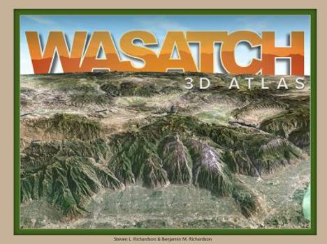
Experience the Wasatch mountains like you've never seen them before Explore the awesome topography of every ridge, cliff, hiking trail and ski area from Salt Lake City to Park City to Provo. Peaks rise above the page in eye-popping 3D, while canyons descend below.
Using their deep understanding of phogrammetry, cartography, and computer graphics, Steve and Ben Richardson transform US goverment maps into a one-of-a-kind map experience to delight geologists, outdoor enthusiasts, and armchair explorers alike. View the Wasatch landscape from the comfort of home or use this book to navigate your next Wasatch adventure.
Format:Spiral-bound
Language:English
ISBN:0982502036
ISBN13:9780982502037
Release Date:July 2018
Publisher:2i3d Stereo Imaging
Length:48 Pages
Weight:0.60 lbs.
Dimensions:0.2" x 12.2" x 8.8"
Related Subjects
TravelCustomer Reviews
0 rating
Copyright © 2026 Thriftbooks.com Terms of Use
| Privacy Policy | Do Not
Sell/Share My Personal Information | Cookie Policy | Cookie Preferences | Accessibility Statement
ThriftBooks® and the ThriftBooks® logo are registered trademarks of Thrift Books Global, LLC
ThriftBooks® and the ThriftBooks® logo are registered trademarks of Thrift Books Global, LLC
