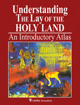
Understanding the Lay of the Holy Land: An Introductory Atlas
Understanding the Lay of the Holy Land provides the perfect introduction to Scripture through a cartographic portrayal of Bible history and geography and is a unique and valuable resource tool for serious Bible study. This highly visual study aid includes photographs, maps of major archaeological sites from the Chalcolithic age to the Roman period, a concise yet helpful text, and an Index to Places. From the ancient Near East, to the deserts around Canaan, to the rivers of the Garden of Eden, this practical and handy book is a welcome resource for anyone who wants a deeper understanding of the physical places mentioned in the Bible.
Describes the Geographical regions and subregions in the ancient Near EastInternationals roads and trade routes - Ancient economies and cultures of the ancient Near EastThe four winds of heavenThe Table of Nations in their landsMap of archaeological excavations for sites from the 4th millenium B.C.E. to the Roman PeriodKey points and features: Produced by Carta Jerusalem, trusted and known for their excellent biblical study helps and referencesAccessible introduction to biblical geography
Describes the Geographical regions and subregions in the ancient Near EastInternationals roads and trade routes - Ancient economies and cultures of the ancient Near EastThe four winds of heavenThe Table of Nations in their landsMap of archaeological excavations for sites from the 4th millenium B.C.E. to the Roman PeriodKey points and features: Produced by Carta Jerusalem, trusted and known for their excellent biblical study helps and referencesAccessible introduction to biblical geography
Format:Paperback
Language:English
ISBN:9652209058
ISBN13:9789652209054
Release Date:September 2019
Publisher:Carta Jerusalem
Length:40 Pages
Weight:0.40 lbs.
Dimensions:0.2" x 8.9" x 11.6"
Customer Reviews
0 rating


