
Time for Kids United States Atlas 2010
No Customer Reviews

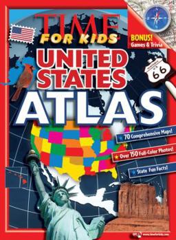
This full-color atlas of the United States features maps of the North American continent, regions, and individual states. Introductory maps at the front of the book include interstate maps, product maps, and topographical maps of the entire U.S. or regions. Individual state spreads feature a Data Bank of facts and statistics including state superlatives: the longest, highest, lowest, etc., photos of major natural and human-made state attractions, and state-specific interesting information. State maps are more detailed than the maps in the World Atlas to include more cities and towns. A back section features a gazetteer to define map- and geography-related terms, an explanation of longitudes and latitudes, a section of graphs and charts showing how the U.S. compares with other nations in terms of population breakdowns, GDP, hours of school per year, incomes, etc. Also includes a "Where in the U.S." scavenger hunt game for kids to complete, using compass directions, landmarks, scale of miles, and so on.
Format:Paperback
Language:English
ISBN:1603208070
ISBN13:9781603208079
Release Date:June 2009
Publisher:Time For Kids
Length:144 Pages
Weight:1.01 lbs.
Dimensions:10.9" x 0.3" x 8.0"
Age Range:8 years and up
Grade Range:Grade 3 to Postsecondary
Customer Reviews
0 rating
Copyright © 2026 Thriftbooks.com Terms of Use
| Privacy Policy | Do Not
Sell/Share My Personal Information | Cookie Policy | Cookie Preferences | Accessibility Statement
ThriftBooks® and the ThriftBooks® logo are registered trademarks of Thrift Books Global, LLC
ThriftBooks® and the ThriftBooks® logo are registered trademarks of Thrift Books Global, LLC
