
All Formats & Editions
1 - 4 of 4 results found

The Vinland map: And the Tartar relation,
By Raleigh Ashlin Skelton, & George D. Pain Skelton R.A., Thomas E. Marston, MARSTON Thomas E. SKELTON R.A.
Edition Details
Format:Hardcover
Language:English
ISBN:B0006BN53C
Format: Hardcover
Temporarily Unavailable
0 people are interested in this title.
We receive fewer than 1 copy every 6 months.
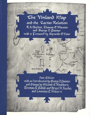
The Vinland Map and the Tartar Relation: New Ed...
By Raleigh Ashlin Skelton, & George D. Pain Skelton R.A., Thomas E. Marston, MARSTON Thomas E. SKELTON R.A.
Edition Description
The Vinland Map, dated to about A.D. 1440--at least fifty years before Columbus landed in the Americas--is a unique map of the world that shows an outline of the northeast American coast and a legend describing its discovery in about 1000 by Leif Eiriksson, the Norseman from...
Edition Details
Format:Hardcover
Language:English
ISBN:0300065205
Format: Hardcover
Condition:
$
8.79
Save $91.21!
List Price: $100.00
Almost Gone, Only 3 Left!

The Vinland Map and the Tartar Relation
By Raleigh Ashlin Skelton, & George D. Pain Skelton R.A., Thomas E. Marston, MARSTON Thomas E. SKELTON R.A.
Edition Details
Format:Hardcover
Language:English
ISBN:0300009593
Format: Hardcover
Temporarily Unavailable
0 people are interested in this title.
We receive fewer than 1 copy every 6 months.
The Vinland Map and the Tartar Relation
By Raleigh Ashlin Skelton, & George D. Pain Skelton R.A., Thomas E. Marston, MARSTON Thomas E. SKELTON R.A.
Edition Details
Format:Hardcover
ISBN:B000GRA89U
Release Date:January 1995
Format: Hardcover
Temporarily Unavailable
0 people are interested in this title.
We receive fewer than 1 copy every 6 months.
Copyright © 2026 Thriftbooks.com Terms of Use
| Privacy Policy | Do Not
Sell/Share My Personal Information | Cookie Policy | Cookie Preferences | Accessibility Statement
ThriftBooks® and the ThriftBooks® logo are registered trademarks of Thrift Books Global, LLC
ThriftBooks® and the ThriftBooks® logo are registered trademarks of Thrift Books Global, LLC
