

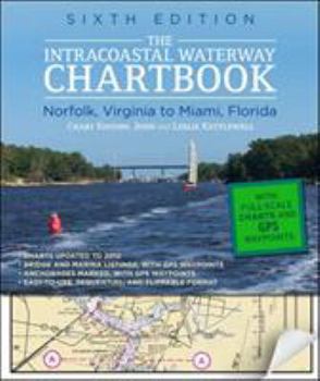
The Intracoastal Waterway Chartbook: Norfolk, Virginia to Miami, Florida
No Customer Reviews

Select Format
Select Condition 
Book Overview
$500 WORTH OF GOVERNMENT CHART AND COAST PILOT COVERAGE--MARKED WITH WAYPOINTS, BRIDGES, AND THE ROUTE The Intracoastal Waterway Chartbook is a complete set of navigation charts for the 1,090-mile Intracoastal Waterway from Norfolk to Miami, as well as charts for all major Atlantic inlets. The chartbook also includes a complete listing of waterway bridge and lock characteristics; anchorage listings; mileage charts; charts for a picturesque...
Format:Spiral-bound
Language:English
ISBN:0071803904
ISBN13:9780071803908
Release Date:September 2012
Publisher:International Marine Publishing
Length:304 Pages
Weight:2.13 lbs.
Dimensions:0.8" x 8.8" x 10.8"
Customer Reviews
0 rating
Copyright © 2023 Thriftbooks.com Terms of Use | Privacy Policy | Do Not Sell/Share My Personal Information | Cookie Policy | Cookie Preferences | Accessibility Statement
ThriftBooks® and the ThriftBooks® logo are registered trademarks of Thrift Books Global, LLC
ThriftBooks® and the ThriftBooks® logo are registered trademarks of Thrift Books Global, LLC
