


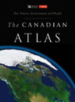
The Canadian Atlas: Our Nation, Environment and People


The core of the atlas is brand-new maps from MapArt Canada, covering every province and territory in detail. Enhancing these maps are sidebars incorporating spectacular state-of-the-art 3-D satellite photography of each area's distinctive topography. An additional feature is downtown street maps of Canada's major centres. Prefacing the maps is a series of eighteen double-page spreads exploring the land, climate, wildlife, resources, industries and peoples of Canada. An innovative treatment of the history and contributions of Canada's First Nations cultures appears among these spreads. Packed with up-to-date information, charts, graphs, photographs and other visuals, these pages set a new standard in revealing Canada as it is today. The Canadian Atlas replaces an earlier Reader's Digest atlas, published in 1995, which sold 35,000 copies through the Canadian trade before going out of print in 2001.
Format:Hardcover
Language:English
ISBN:1553650824
ISBN13:9781553650829
Release Date:January 2004
Publisher:Reader's Digest Association (Canada) Ltd.
Length:192 Pages
Weight:3.90 lbs.
Dimensions:14.0" x 0.8" x 10.0"
Customer Reviews
1 rating
A winner and a bargain
Published by Thriftbooks.com User , 20 years ago
I would have expected to pay much more for a such a high quality and informative atlas. The maps are very detailed and easy to read. There is also a large section of accompanying text relating to landforms, weather, vegetation, the economy, history and demographics etc. including many graphs and ilustrative photos, as well as a comprehensive index of places.
Copyright © 2026 Thriftbooks.com
Terms of Use | Privacy Policy | Do Not Sell/Share My Personal Information | Cookie Policy | Cookie Preferences | Accessibility Statement
ThriftBooks ® and the ThriftBooks ® logo are registered trademarks of Thrift Books Global, LLC
ThriftBooks ® and the ThriftBooks ® logo are registered trademarks of Thrift Books Global, LLC
