
The 1858 Map of Cape Cod, Martha's Vineyard, & Nantucket
No Customer Reviews

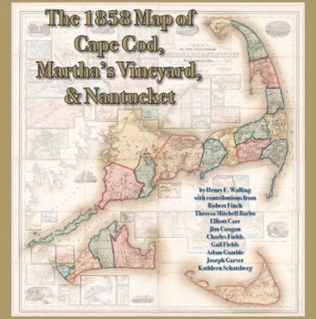
Based on the five-foot by five-foot 1858 Map of the Counties of Barnstable, Dukes, and Nantucket Counties by Henry F. Walling, this display-style book showcases each county, town, village, and the... This description may be from another edition of this product.
Format:Hardcover
Language:English
ISBN:0978576675
ISBN13:9780978576677
Release Date:November 2009
Publisher:On Cape Publications
Length:132 Pages
Weight:4.45 lbs.
Dimensions:12.5" x 0.7" x 12.5"
Customer Reviews
0 rating
Copyright © 2026 Thriftbooks.com Terms of Use
| Privacy Policy | Do Not
Sell/Share My Personal Information | Cookie Policy | Cookie Preferences | Accessibility Statement
ThriftBooks® and the ThriftBooks® logo are registered trademarks of Thrift Books Global, LLC
ThriftBooks® and the ThriftBooks® logo are registered trademarks of Thrift Books Global, LLC
