
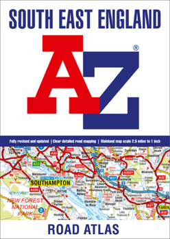
South East England A-Z Road Atlas
No Customer Reviews

This full colour regional road atlas features 46 pages of continuous road mapping includes the whole of London and covers the counties of Buckinghamshire, Hertfordshire, Essex, east Oxfordshire, east Hampshire, Middlesex, Sussex and Kent.
Published at a clear 2.5 miles to 1 inch the following features are shown on the road mapping:
Motorways with full junction detail, primary routes and destinations, A & B roads, under construction and proposed roads, service areas, tolls, mileages, county and unitary authority boundariesSouth Downs National Park boundarySelected places of interest and tourist information centres21 city, town, airport or port plans for:Brighton & Hove, Canterbury, Dover, Eastbourne, Folkestone, Guildford, London, Medway Towns, Milton Keynes, Oxford, Portsmouth, Reading, Southampton, Winchester, Windsor, Gatwick Airport, Heathrow Airport, Luton Airport, Stansted Airport, Newhaven Port, Portsmouth Port
The comprehensive index section lists cities, towns, villages, hamlets and locations covered by this atlas.
Format:Paperback
Language:English
ISBN:0008388202
ISBN13:9780008388201
Release Date:August 2020
Publisher:Geographers' A-Z Map Company Ltd.
Length:72 Pages
Related Subjects
TravelCustomer Reviews
0 rating
Copyright © 2026 Thriftbooks.com Terms of Use
| Privacy Policy | Do Not
Sell/Share My Personal Information | Cookie Policy | Cookie Preferences | Accessibility Statement
ThriftBooks® and the ThriftBooks® logo are registered trademarks of Thrift Books Global, LLC
ThriftBooks® and the ThriftBooks® logo are registered trademarks of Thrift Books Global, LLC
