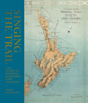
Singing the Trail: The Story of Mapping Aotearoa New Zealand
The very first maps were oral maps made by early Polynesian and Maori settlers which were waypoints, described as "survey pegs of memory," lists of places in songs, chants, karakia, and stories that showed direction. Hundreds of years later, the Dutch Abel Tasman sailed here and made the first attempt at a physical map; he was followed more than 100 years later by Cook, whose map was much more detailed as he circumnavigated the country. Once the detail...
Format:Hardcover
Language:English
ISBN:1760633593
ISBN13:9781760633592
Release Date:June 2020
Publisher:A&u New Zealand
Length:276 Pages
Weight:4.40 lbs.
Dimensions:1.1" x 10.0" x 11.0"
Customer Reviews
0 rating


