
Scotland Regional Road Atlas A-Z 1:221,760
No Customer Reviews

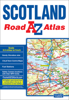
This A-Z map of Scotland is a full colour regional road atlas featuring 92 pages of road mapping covering the whole of the country.Instantly recognizable and easy to use, A-Z road mapping includes the following features:*Motorways with full junction detail, primary routes and destinations, A & B roads, under construction and proposed roads, service areas, tolls, mileages, national, county and unitary authority boundaries*Selected safety camera locations with speed limits*Selected fuel stations*Cairngorms and Loch Lomond & The Trossachs National Park boundaries*Hill shading sourced from Geo-Innovations© www.geoinnovations.co.uk*Selected places of interest and tourist information centresThe mainland pages scale is 3.5 miles to 1 inch and the Western Isles, Shetland Islands and Orkney Islands scale is 4.5 miles to 1 inch.Also included are 20 city and town plans for:*Aberdeen*Aviemore*Ayr*Dumfries*Dundee*Dunfermline*Edinburgh*Glasgow*Falkirk*Fort William*Hamilton*Inverness*Kilmarnock*Kirkcaldy*Motherwell*Oban*Paisley*Perth*St Andrews*StirlingThere is a comprehensive index to cities, towns, villages, hamlets and locations.
Format:Paperback
Language:English
ISBN:1782571353
ISBN13:9781782571353
Release Date:September 2017
Publisher:Geographers' A-Z Map Company Ltd.
Length:120 Pages
Weight:0.55 lbs.
Related Subjects
TravelCustomer Reviews
0 rating
Copyright © 2025 Thriftbooks.com
Terms of Use | Privacy Policy | Do Not Sell/Share My Personal Information | Cookie Policy | Cookie Preferences | Accessibility Statement
ThriftBooks ® and the ThriftBooks ® logo are registered trademarks of Thrift Books Global, LLC
ThriftBooks ® and the ThriftBooks ® logo are registered trademarks of Thrift Books Global, LLC
