


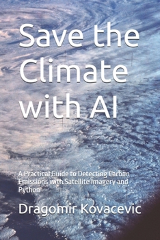
Save the Climate with AI: A Practical Guide to Detecting Carbon Emissions with Satellite Imagery and Python

Carbon dioxide is invisible. For decades, that made it nearly impossible to know exactly who was emitting it, how much, and from where. Today, a constellation of satellites - NASA's OCO-2 and OCO-3, ESA's Sentinel-5P, and a growing fleet of commercial imagers - is changing that, generating millions of atmospheric measurements every day. The challenge has shifted from collecting this data to making sense of it.
This book is a hands-on guide to doing exactly that with Python and modern AI. You'll learn to acquire real satellite data from NASA Earthdata, Copernicus, and Google Earth Engine; process and clean noisy atmospheric retrievals; and build detection systems that range from classical statistical methods to deep convolutional neural networks capable of spotting emission plumes in raw imagery.
Every technique is grounded in working code, not just theory. You'll build:
Anomaly detectors using Isolation Forests, Local Outlier Factor, and autoencodersA physics-informed Gaussian plume model for emission-rate estimationA U-Net trained to segment CO2 and methane plumes directly from satellite imageryAn automated, production-style monitoring pipeline with caching, alerting, and schedulingThree complete case studies - a coal power plant, a major city, and an active wildfire - walk through the full process end to end: acquiring the data, detecting the signal, quantifying the emission, and honestly assessing the uncertainty in the result.
Whether you're a data scientist curious about climate applications, an ML engineer looking for a meaty real-world project, or a researcher building tools for emissions accountability, this book gives you the complete toolkit - data access, preprocessing, classical and deep learning models, and a path to deployment - to turn satellite data into actionable climate intelligence.
Customer Reviews
ThriftBooks ® and the ThriftBooks ® logo are registered trademarks of Thrift Books Global, LLC
