
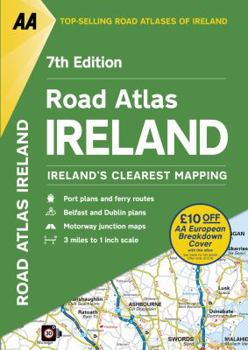
Road Atlas Ireland
No Customer Reviews

Includes AA approved camping sites, viewpoints, picnic sites, port plans and ferry routes. Toll motorways and motorway service areas are highlighted. Ten detailed city and town plans with street... This description may be from another edition of this product.
Format:Paperback
Language:English
ISBN:0749578432
ISBN13:9780749578435
Release Date:April 2017
Publisher:AA Publishing
Length:104 Pages
Weight:0.75 lbs.
Dimensions:11.5" x 0.3" x 8.5"
Customer Reviews
0 rating
Copyright © 2026 Thriftbooks.com Terms of Use
| Privacy Policy | Do Not
Sell/Share My Personal Information | Cookie Policy | Cookie Preferences | Accessibility Statement
ThriftBooks® and the ThriftBooks® logo are registered trademarks of Thrift Books Global, LLC
ThriftBooks® and the ThriftBooks® logo are registered trademarks of Thrift Books Global, LLC
