Skip to content
Scan a barcode
Scan
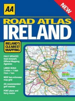
Paperback Road Atlas Ireland Book

ISBN: 0749582308

ISBN13: 9780749582302

Road Atlas Ireland

Includes AA approved camping sites, viewpoints, picnic sites, port plans and ferry routes. Toll motorways and motorway service areas are highlighted. Ten detailed city and town plans with street indexes of Belfast, Cork, Londonderry, Dublin, Galway, Killarney, Kilkenny, Limerick, Sligo and Waterford. An easy-to-read 3,500 place name index. Irish language areas shown on the main mapping with place names in English and Irish. District maps of Dublin and Belfast show the area in more detail. Fully updated in 3 miles to 1 inch format. Newly includes the Wild Atlantic Way route.

Recommended

Format: Paperback

Condition: Very Good*

*Best Available: (ex-library)

$17.59
Almost Gone, Only 1 Left!

Customer Reviews

0 rating
Copyright © 2025 Thriftbooks.com Terms of Use | Privacy Policy | Do Not Sell/Share My Personal Information | Cookie Policy | Cookie Preferences | Accessibility Statement
ThriftBooks ® and the ThriftBooks ® logo are registered trademarks of Thrift Books Global, LLC
GoDaddy Verified and Secured