


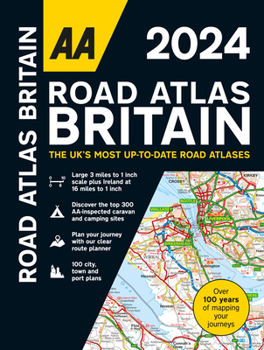
AA Road Atlas Britain 2024 Spiral
No Customer Reviews

Select Format
Select Condition 
Book Overview
This top-selling A4 road atlas showcases Britain's clearest mapping at 3.2 miles to 1 inch scale. Each page has been titled with its geographical location so you can turn to the page you need more easily. Wide and narrow minor roads, National Trust, English and World Heritage sites and hard-to-find places are shown. There are 112 city, town, port and airport plans including 10 pages of central London street mapping with index, full colour country, unitary and administrative area map and a comprehensive 31,500 entry index with airports, top tourist sites and motorway services listed and a 6 page clear Route Planner map. Plus, scenic routes, golf courses and caravan and camping sites symbolised on the mapping.
Format:Spiral-bound
Language:English
ISBN:0749583401
ISBN13:9780749583408
Release Date:September 2023
Publisher:AA Publishing
Length:328 Pages
Customer Reviews
0 rating
Copyright © 2026 Thriftbooks.com
Terms of Use | Privacy Policy | Do Not Sell/Share My Personal Information | Cookie Notice | Cookie Preferences | Accessibility Statement
ThriftBooks ® and the ThriftBooks ® logo are registered trademarks of Thrift Books Global, LLC
ThriftBooks ® and the ThriftBooks ® logo are registered trademarks of Thrift Books Global, LLC
