
Reading A-Z Street Atlas
No Customer Reviews

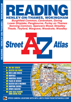
This atlas of Reading, Henley-on-Thames and Wokingham features 48 pages of coloured street mapping. The main coverage extends to include:*Sonning Common, Lower Shiplake, Pangbourne, Purley on Thames, Emmer Green, Wargrave, Twyford, Tilehurst, Caversham, Woodley, Theale, Calcot, Whitley, Wennersh, Burghfield Common, Spencers Common, Shinfield and Arborfield Cross.*There is separate coverage of Goring, Streatley and Woodcote.*Also included is a large scale town centre map of Reading.Postcode districts and one-way streets are featured on the mapping.The index section of the atlas lists streets, selected flats, walkways and places of interest, place, area and station names, hospitals and hospices covered by this atlas.
Format:Paperback
Language:English
ISBN:1843485141
ISBN13:9781843485148
Release Date:July 2013
Publisher:Geographers’ A-Z Map Co Ltd
Length:72 Pages
Weight:0.29 lbs.
Dimensions:8.3" x 0.1" x 5.9"
Related Subjects
TravelCustomer Reviews
0 rating
Copyright © 2025 Thriftbooks.com
Terms of Use | Privacy Policy | Do Not Sell/Share My Personal Information | Cookie Policy | Cookie Preferences | Accessibility Statement
ThriftBooks ® and the ThriftBooks ® logo are registered trademarks of Thrift Books Global, LLC
ThriftBooks ® and the ThriftBooks ® logo are registered trademarks of Thrift Books Global, LLC
