
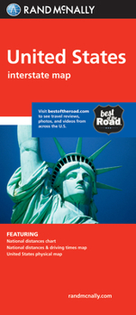
Rand McNally United States
No Customer Reviews

Select Format
Select Condition 
Book Overview
Rand McNally's United States folded map features clear, easy-to-read cartography showing all Interstate and U.S. highways, along with clearly indicated cities, points of interest, airports, boundaries, and more.
Rand McNally folded maps have been the trusted standard for years, offering unbeatable accuracy and reliability at a great price.
Interstate and U.S. highways
Indications of cities, points of interest, airports, boundaries, and more
Mileage chart
Mileage & driving times map
National facts and symbols
Toll roads chart
United States physical map
Visitor information
Copyright 2019
Product Details
Measures 4.125" x 9" and folds out to 25.5" x 36.75".
Format:Map
Language:English
ISBN:0528881280
ISBN13:9780528881282
Release Date:April 2019
Publisher:Rand McNally
Weight:0.10 lbs.
Dimensions:0.4" x 3.9" x 9.4"
Related Subjects
TravelCustomer Reviews
0 rating
Copyright © 2025 Thriftbooks.com
Terms of Use | Privacy Policy | Do Not Sell/Share My Personal Information | Cookie Policy | Cookie Preferences | Accessibility Statement
ThriftBooks ® and the ThriftBooks ® logo are registered trademarks of Thrift Books Global, LLC
ThriftBooks ® and the ThriftBooks ® logo are registered trademarks of Thrift Books Global, LLC
