


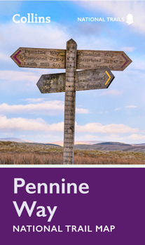
Pennine Way National Trail Map
No Customer Reviews

Perfect guide and map for planning your adventure along the iconic Pennine Way.
Highlights of this Planning Map include:
More than 20 highlighted places of interest with detailed descriptions and attractive photographs, including: Hadrian's Wall, Tan Hill, and Cauldron Snout A comprehensive index to more than 1000 cities, towns and villages A clear, visible route plotted across the map Advice on safety and security when travelling along the route, as well as the countryside code and the code of conductThe Pennine Way is the oldest of the 16 National Trails and runs along The Pennines, linking the Peak District National Park with the Cheviot Hills. Starting in Edale, Derbyshire, the walk covers 268 miles (431 km) and passes through the Yorkshire Dales to finish in Kirk Yetholm, just inside the Scottish Borders. A suggested walking itinerary makes it easy for users to plan their journey along this popular route.
Format:Loose Leaf
Language:English
ISBN:0008602956
ISBN13:9780008602956
Release Date:February 2023
Publisher:Collins
Length:1 Pages
Related Subjects
TravelCustomer Reviews
0 rating
Copyright © 2026 Thriftbooks.com
Terms of Use | Privacy Policy | Do Not Sell/Share My Personal Information | Cookie Policy | Cookie Preferences | Accessibility Statement
ThriftBooks ® and the ThriftBooks ® logo are registered trademarks of Thrift Books Global, LLC
ThriftBooks ® and the ThriftBooks ® logo are registered trademarks of Thrift Books Global, LLC
