
Nottingham A-Z Street Atlas (paperback)
No Customer Reviews

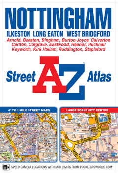
This A-Z map of Nottingham is a full colour, paperback atlas with 74 pages of continuous street mapping which extends to include:*Arnold*Beeston*Burton Joyce*Calverton*Carlton*Clifton*Cotgrave*Eastwood*Heanor*Hucknall*Ilkeston*Keyworth*Long Eaton*Radcliffe on Trent*Stapleford*West BridgfordThere is also separate coverage of Bingham.Also included is:*a large scale city centre map of Nottingham*a postcode map of the Nottingham area*a road map of the Nottingham area*the full Nottingham Express Transit mapPostcode districts, one-way streets, park and ride sites and safety camera locations with speed limits are featured on the street mapping.The index section lists streets; selected flats, walkways and places of interest; place and area names; railway stations; Nottingham Express Transit stops; hospitals and hospices covered by this atlas.
Format:Paperback
Language:English
ISBN:1782572635
ISBN13:9781782572633
Release Date:November 2018
Publisher:Geographers’ A-Z Map Co Ltd
Length:128 Pages
Weight:0.48 lbs.
Dimensions:8.5" x 0.2" x 5.9"
Related Subjects
TravelCustomer Reviews
0 rating
Copyright © 2026 Thriftbooks.com Terms of Use
| Privacy Policy | Do Not
Sell/Share My Personal Information | Cookie Policy | Cookie Preferences | Accessibility Statement
ThriftBooks® and the ThriftBooks® logo are registered trademarks of Thrift Books Global, LLC
ThriftBooks® and the ThriftBooks® logo are registered trademarks of Thrift Books Global, LLC
