
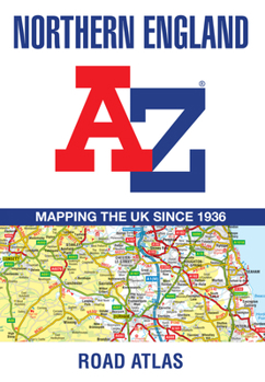
Northern England A-Z Road Atlas: (New Sixth Edition)

Find your way around Northern England with this fully revised and up-to-date regional road atlas. Printed in full color, this atlas features 52 pages of detailed road mapping, providing clear and reliable coverage across the north of England and adjoining areas.
Coverage extends from Berwick-upon-Tweed in the northeast to Dumfries in the northwest, and from Barrow-in-Furness in the west to Kingston upon Hull, Grimsby, Boston, Nottingham, Stoke-on-Trent, and Wrexham in the south. Major cities and towns including Newcastle upon Tyne, Middlesbrough, Liverpool, Manchester, Blackpool, Chester, and Hull are fully covered.
Road mapping is shown at a clear 3.5 miles to 1 inch scale (2.2 km to 1 cm) and includes:
Motorways (open, under construction, and proposed), with full junction detailService areasPrimary routes and destinationsA and B roads, plus selected minor roadsSteep gradients (1:5 and steeper)Tolls and mileagesCounty boundaries, spot heights, and hill shadingSelected safety camera locations with maximum speed limitsSelected fuel stationsNational Park boundariesSelected places of interest, tourist information centers, and golf coursesThe atlas also includes 24 detailed city, town, airport, and port plans, covering:
Blackpool, Bradford, Carlisle, Chester, Derby, Dumfries, Durham, Harrogate, Kingston upon Hull, Leeds, Lincoln, Liverpool, Manchester, Middlesbrough, Newcastle upon Tyne, Nottingham, Preston, Sheffield, Stoke-on-Trent, Sunderland, York, Manchester Airport, Kingston upon Hull Port, and Newcastle upon Tyne Port.
A comprehensive index lists cities, towns, villages, hamlets, and locations covered by the atlas, making this an essential travel and navigation resource for motorists, professionals, and travelers exploring Northern England.
Related Subjects
TravelCustomer Reviews
ThriftBooks® and the ThriftBooks® logo are registered trademarks of Thrift Books Global, LLC
