
MR Ward's Map: Victorian Wellington Street by Street

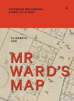
In 1891, a remarkable map of Wellington was made by surveyor Thomas Ward. It recorded the footprint of every building, from Thorndon in the north and across the teeming, inner-city slums of Te Aro to Berhampore in the south. Updated regularly over the next 10 years, it detailed hotels, theatres, oyster saloons, brothels, shops, stables, Parliament, the remnants of Maori kainga, the Town Belt, the prisons, the 'lunatic asylum', the hospital and much more, in detail so particular that it went right down to the level of the street lights. Luxuriously packaged with a cloth case and fold-out jacket, Mr Ward's Map uses this giant map and historic images to tell marvellous stories about a vital capital city, its neighbourhoods and its people at the turn of the twentieth century.
Related Subjects
HistoryCustomer Reviews
ThriftBooks ® and the ThriftBooks ® logo are registered trademarks of Thrift Books Global, LLC
