
Milton Keynes A-Z Street Atlas
No Customer Reviews

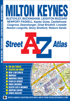
This A-Z map of Milton Keynes, Buckingham and Leighton Buzzard is a full colour street atlas featuring 25 pages of street mapping.*Milton Keynes coverage extends to Bletchley, Castlethorpe, Deanshanger, Kingston, Newport Pagnell, Newton Longville, Stony Stratford and Woburn Sands.*Leighton Buzzard coverage extends to Great Brickhill, Heath & Reach and Linslade.*Buckingham coverage extends to Maids Moreton and Mount Pleasant.There is an dedicated coloured road map of the Milton Keynes grid road system showing vertical and horizontal road numbers.Postcode districts, one-way streets and safety camera locations with their maximum speed limit are featured on the street mapping.The index section lists streets, selected flats, walkways and places of interest, place, area and station names, hospitals and hospices covered by this atlas.
Format:Paperback
Language:English
ISBN:1782570209
ISBN13:9781782570202
Release Date:December 2013
Publisher:Geographers' A-Z Map Company Ltd.
Length:48 Pages
Related Subjects
TravelCustomer Reviews
0 rating
Copyright © 2026 Thriftbooks.com
Terms of Use | Privacy Policy | Do Not Sell/Share My Personal Information | Cookie Policy | Cookie Preferences | Accessibility Statement
ThriftBooks ® and the ThriftBooks ® logo are registered trademarks of Thrift Books Global, LLC
ThriftBooks ® and the ThriftBooks ® logo are registered trademarks of Thrift Books Global, LLC
