
Midlands A-Z Road Atlas
No Customer Reviews

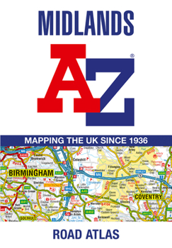
Road map detail is shown at a clear 2.5 miles to 1 inch scale (1.58 km to 1 cm) and includes the following features: Motorways open with full junction detail, motorways under construction and proposed, service areas, primary routes and destinations, A & B roads, selected minor roads, gradients 1:5 and steeper, tolls, mileages, county boundaries, spot heights and hill shading Selected safety camera locations with their maximum speed limits Selected fuel stations National Park boundaries Selected places of interest, tourist information centres and golf courses The index section lists cities, towns, villages, hamlets and locations covered by the road mapping.
Format:Paperback
Language:English
ISBN:000865283X
ISBN13:9780008652838
Release Date:October 2024
Publisher:Geographers' A-Z Map Company Ltd.
Length:96 Pages
Customer Reviews
0 rating
Copyright © 2026 Thriftbooks.com
Terms of Use | Privacy Policy | Do Not Sell/Share My Personal Information | Cookie Policy | Cookie Preferences | Accessibility Statement
ThriftBooks ® and the ThriftBooks ® logo are registered trademarks of Thrift Books Global, LLC
ThriftBooks ® and the ThriftBooks ® logo are registered trademarks of Thrift Books Global, LLC
