
Maps, Annotated: The World's 300 Greatest Maps Explained
No Customer Reviews

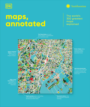
This fascinating history of cartography includes more than 300 maps, from the ancient world to the present day. Combining stunning reproductions with clear annotations and pull-out details, it is an expertly curated selection of the finest examples ever created. Delve into Maps, Annotated and find out how the Polynesians used sticks to chart their way across the Pacific, what a meridian is, and where dragons were said to lurk. Discover ancient Chinese star maps, decipher medieval Mappa Mundi, and find out how the world is split into time zones. Organized chronologically, the book features maps from all over the world, explaining key elements such as compasses, scales, symbols, and geographic features. Each map is also set in historical context, making Maps, Annotated a complete overview of the history of cartography. From Babylonian world maps to the Aztec map of Tenochtitl n and the Gaia map of the Milky Way, immerse yourself in the most intriguing maps ever created. Comprehensive and lavishly illustrated, Maps, Annotated is a must for all armchair explorers.
Format:Hardcover
Language:English
ISBN:B0DSHJ24B4
ISBN13:9798217126316
Release Date:October 2025
Publisher:DK Publishing (Dorling Kindersley)
Length:480 Pages
Weight:5.30 lbs.
Dimensions:1.5" x 9.4" x 11.2"
Customer Reviews
0 rating
Copyright © 2026 Thriftbooks.com Terms of Use
| Privacy Policy | Do Not
Sell/Share My Personal Information | Cookie Policy | Cookie Preferences | Accessibility Statement
ThriftBooks® and the ThriftBooks® logo are registered trademarks of Thrift Books Global, LLC
ThriftBooks® and the ThriftBooks® logo are registered trademarks of Thrift Books Global, LLC
