
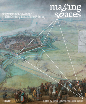
Mapping Spaces: Networks of Knowledge in 17th Century Landscape Painting
No Customer Reviews

Seventeenth-century Europe saw a fruitful creative exchange between the arts and contemporaneous scientific thought. Mapping Spaces traces the multifaceted dimensions of this exchange with contributions from more than forty leading scholars who, together, reflect on the influence of science and technology on the arts through the specific study of the process of mapping in Dutch landscape paintings of the mid-seventeenth century. The dialogue between the arts and sciences, the contributors find, extends back well beyond the new media and digital satellite imagery of modern times. Many Dutch painters of the period are believed to have employed systems of remote sensing for their paintings. For his well-known historical battle scenes, for instance, Pieter Snayers would have required an understanding of both ballistics and geography. Bringing these and many other insights together with more than 350 large-format illustrations, Mapping Spaces presents readers with past exchanges of knowledge that surprisingly anticipate the techniques of mapping used today.
Format:Hardcover
Language:English
ISBN:3777422304
ISBN13:9783777422305
Release Date:March 2015
Publisher:Hirmer Publishers
Length:500 Pages
Weight:6.15 lbs.
Dimensions:11.0" x 1.5" x 9.8"
Customer Reviews
0 rating
Copyright © 2025 Thriftbooks.com
Terms of Use | Privacy Policy | Do Not Sell/Share My Personal Information | Cookie Policy | Cookie Preferences | Accessibility Statement
ThriftBooks ® and the ThriftBooks ® logo are registered trademarks of Thrift Books Global, LLC
ThriftBooks ® and the ThriftBooks ® logo are registered trademarks of Thrift Books Global, LLC
