
Mapping South Kerry: 450 Years of a Changing Landscape
No Customer Reviews

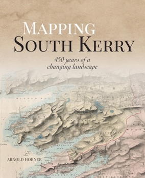
South Kerry was always a place with its own distinctive personality, and once the heart of a great Irish lordship. Using some 400 illustrations, this book explores how maps have recorded more than 450 years of far-reaching changes to the landscape, society, and economy of south Kerry.
Presented are maps from the Down Survey and the later Ordnance Survey of Ireland, and lesser-known maps that offer perspectives on a wide range of topics relating to south Kerry. Here are maps that document the condition and ownership of the land and chart the seas.
Maps are a crucial testament to the changing landscape and development of the world we live in. They provide for an innovative and distinctive insight into how the past has molded the present in on of Ireland's most beautiful regions.
Format:Hardcover
Language:English
ISBN:1913934713
ISBN13:9781913934712
Release Date:October 2023
Publisher:Wordwell Books
Length:352 Pages
Customer Reviews
0 rating
Copyright © 2026 Thriftbooks.com Terms of Use
| Privacy Policy | Do Not
Sell/Share My Personal Information | Cookie Policy | Cookie Preferences | Accessibility Statement
ThriftBooks® and the ThriftBooks® logo are registered trademarks of Thrift Books Global, LLC
ThriftBooks® and the ThriftBooks® logo are registered trademarks of Thrift Books Global, LLC
