
Mapping Laois: From the 16th to the 21st Century
No Customer Reviews

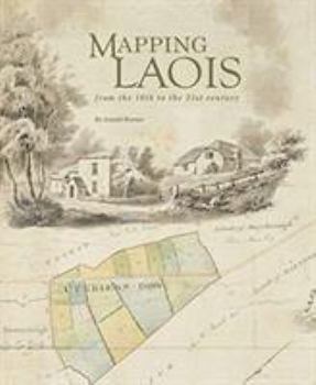
The author reviews and contextualizes the extraordinarily rich diversity of manuscripts and printed maps that record the changing political, economic, and social circumstances of an Irish county over nearly five centuries. The flavor of these varied, informative and often colorful maps is captured in over 400 illustrations, among which are reproductions of six early county maps and a unique assemblage of images from the Ordnance Survey fair plans' of c. 1838-40. With a map record that stretches back more than 450 years, County Laois (formerly Leix and Laoighis, and between 1556 and 1920 officially known as Queen's County) has a distinguished place in the history of cartography in Ireland. This book explores that record, from the first map of c. 1560, covering the eastern part of the county, through to the present century.
Format:Hardcover
Language:English
ISBN:1999790960
ISBN13:9781999790967
Release Date:August 2019
Publisher:Wordwell Books
Length:388 Pages
Weight:2.95 lbs.
Dimensions:1.5" x 8.6" x 10.6"
Customer Reviews
0 rating
Copyright © 2026 Thriftbooks.com Terms of Use
| Privacy Policy | Do Not
Sell/Share My Personal Information | Cookie Policy | Cookie Preferences | Accessibility Statement
ThriftBooks® and the ThriftBooks® logo are registered trademarks of Thrift Books Global, LLC
ThriftBooks® and the ThriftBooks® logo are registered trademarks of Thrift Books Global, LLC
