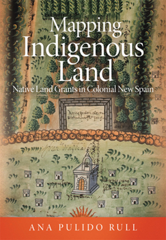
Mapping Indigenous Land: Native Land Grants in Colonial New Spain
Between 1536 and 1601, at the request of the colonial administration of New Spain, indigenous artists crafted more than two hundred maps to be used as evidence in litigation over the allocation of land. These land grant maps, or mapas de mercedes de tierras, recorded the boundaries of cities, provinces, towns, and places; they made note of markers and ownership, and, at times, the extent and measurement of each field in a territory, along...
Format:Hardcover
Language:English
ISBN:0806164964
ISBN13:9780806164960
Release Date:May 2020
Publisher:University of Oklahoma Press
Length:272 Pages
Weight:1.70 lbs.
Dimensions:0.9" x 7.6" x 10.2"
Customer Reviews
0 rating


