
Mapping India
No Customer Reviews

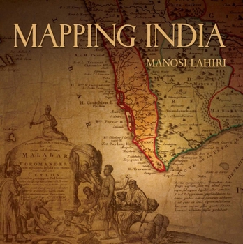
Mapping India presents an overview of important maps that eloquently reflect the changing social and political fortunes of India. These maps speak of the commercial interests and wars that led to the colonization of India, and show territories the size of countries that were conquered, ceded or controlled through treaties. They also record changed courses of rivers, routes taken by armies, people living in communities in new cities, places where famines occurred, how the highest peak was discovered and named, when native royalty gathered to pay respect to the British Emperor, and the destination to which Mahatma Gandhi marched with his supporters for the salt satyagraha. From the earliest chronicles of India to its post-Independence strides, Mapping India is the story of India recounted through its maps. Contents: Introduction India Takes Shape and Form The Mughal Empire Early Plans and Sketches Old Cities and Forts Surveys and Maps Wars and Acquisitions The Great Game and The Himalayas Mutiny and Famine General Maps and Atlases References and Suggested Reading
Format:Hardcover
Language:English
ISBN:8189738984
ISBN13:9788189738983
Release Date:July 2012
Publisher:Niyogi Books
Length:320 Pages
Weight:5.90 lbs.
Dimensions:1.3" x 11.9" x 12.1"
Customer Reviews
0 rating
Copyright © 2026 Thriftbooks.com Terms of Use
| Privacy Policy | Do Not
Sell/Share My Personal Information | Cookie Policy | Cookie Preferences | Accessibility Statement
ThriftBooks® and the ThriftBooks® logo are registered trademarks of Thrift Books Global, LLC
ThriftBooks® and the ThriftBooks® logo are registered trademarks of Thrift Books Global, LLC
