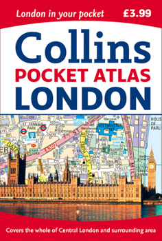
Collins Pocket Atlas London
Select Format
Select Condition 
Book Overview
This fully updated, pocket-sized atlas has an extensive area of coverage and shows the center of London at an extra large scale. The maps are exceptionally clear and easy to use with color coding for roads as well as locations such as shops, hospitals, hotels, schools, and more. This map includes the latest boundary of the congestion charging zone; color classified roads and buildings; postal district boundaries; car parks, hospitals, and police stations;...
Format:Paperback
Language:English
ISBN:0008214158
ISBN13:9780008214159
Release Date:June 2017
Publisher:Collins
Length:144 Pages
Weight:0.25 lbs.
Dimensions:0.3" x 4.0" x 5.9"
Customer Reviews
0 rating


