
All Formats & Editions
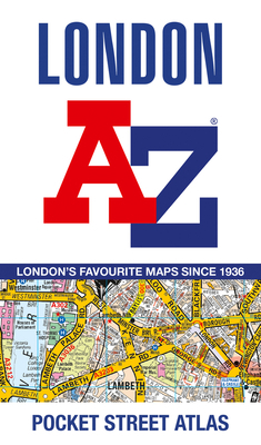
London A-Z Pocket Atlas
A pocket-sized paperback street atlas of Central London in full colour, covering an area extending from the centre of London to: Brent Cross, Golders Green, Highgate, Finsbury Park, Stoke Newington, Leytonstone, Wanstead, West Ham, Thames Flood Barrier
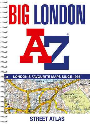
Big London A-Z Street Atlas
The mapping features transport connections, places of interest, public buildings, postcode districts, one-way streets, Congestion and Low Emission Zones This comprehensive street atlas of London also includes: An overview map of the Congestion Charging Zone ...
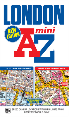
London Mini A-Z Street Atlas (paperback)
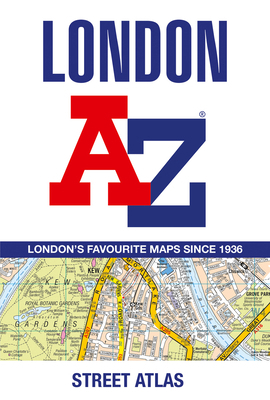
London A-Z Street Atlas
First published in 1936, this iconic atlas is a trusted means of finding your way around the capital city. The main mapping extends beyond Central London from Heathrow Airport to Chingford at a scale of 2.88 inches to 1 mile, featuring postcode districts, one-way...
A. to Z. London Street Atlas

London A to Z
London A-Z
London A-Z.
London A-Z.
London Street Atlas (A-Z Street Atlas) Bound 2018
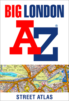
Big London A-Z Street Atlas
Large scale A-Z street mapping of London. This A4 street atlas offers the perfect combination of coverage and clarity, the area covered ranges from Heathrow Airport all the way to Chingford at a scale of 4.25 inches to 1 mile, while a detailed map of Central London is at a...

A-Z Mini Atlas of London: Extends to Tottenham,...
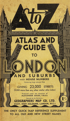
London A-Z Street Atlas – Historical Edition
London Street Atlas (A-Z Street Atlas S.)
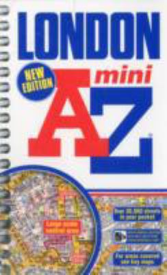
Mini London Street Atlas
![Geographers' de luxe A to Z of London [Portuguese_brazilian] 0850391121 Book Cover](https://i.thriftbooks.com/api/imagehandler/l/DECD588633B1D63444290E80538D7558905DE75B.jpeg)
Geographers' de luxe A to Z of London [Portuguese_brazilian]
London Mini Street Atlas
A-Z Street Atlas of London (London Street Atlases)
A-Z Street Atlas of London (London Street Atlases)
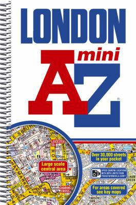
A-Z London Mini Spiral (Street Maps & Atlases)
A-Z London (Street Atlas)

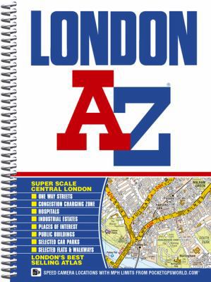
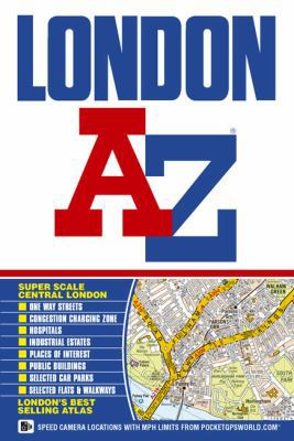
Super Scale London Street Atlas A-Z

London Street Atlas (A-Z Street Atlas) 2015
London A-z
A-Z London Street Atlas
ThriftBooks® and the ThriftBooks® logo are registered trademarks of Thrift Books Global, LLC
