
Liverpool A-Z Street Atlas
No Customer Reviews

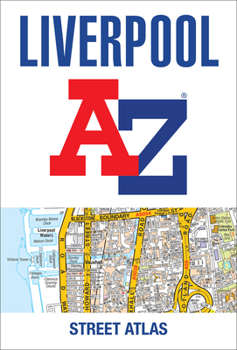
Navigate your way around Liverpool with this detailed and easy-to-use A-Z Street Atlas.
Printed in full-colour, paperback format, this atlas contains 120 pages of continuous street mapping.
Coverage extends to include: Maghull, Crosby, Bootle, Kirkby, Prescot, Huyton, St. Helens, Haydock, Widnes, Runcorn, Wallasey, Birkenhead, West Kirby, Heswall.
Also included is:
- a large scale city centre map of Liverpool
- a postcode map of the Liverpool area
- a Liverpool rail connections map
Postcode districts, one-way streets and park and ride sites are featured on the mapping.
The index section lists streets, selected flats, walkways and places of interest, place, area and station names, hospitals, NHS Walk-in Centres and hospices.
Format:Paperback
Language:English
ISBN:0008496390
ISBN13:9780008496395
Release Date:June 2022
Publisher:Geographers' A-Z Map Company Ltd.
Length:244 Pages
Related Subjects
TravelCustomer Reviews
0 rating
Copyright © 2026 Thriftbooks.com
Terms of Use | Privacy Policy | Do Not Sell/Share My Personal Information | Cookie Policy | Cookie Preferences | Accessibility Statement
ThriftBooks ® and the ThriftBooks ® logo are registered trademarks of Thrift Books Global, LLC
ThriftBooks ® and the ThriftBooks ® logo are registered trademarks of Thrift Books Global, LLC
