
Kentucky River Packets
No Customer Reviews

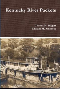
The Kentucky River is formed in eastern Kentucky at Beattyville, where the North, Middle and South Forks join together. The river then flows 260 miles to the Ohio River at Carrolton. The river drains much of the central region of the state. With the appearance of the early steamboats on the Kentucky River in the 1820s, the river became the primary artery for economic growth with trade with the lower south. This dominance lasted until the Civil War when the railroads surpassed the packetboats with freight traffic. After the war, river traffic shifted to towboats pushing barges of bulk commodities. However, steam packetboats, and later gasboats, continued to service the isolated river communities along the lower river until the Great Depression. In 1836-1842, the Commonwealth of Kentucky constructed five locks and dams, from Carrollton to Tyrone. These dams created pools of water which allowed year round "slackwater" navigation. The state operated these locks until after the Civil War.
Format:Paperback
Language:English
ISBN:0359051901
ISBN13:9780359051908
Release Date:August 2018
Publisher:Lulu.com
Length:238 Pages
Weight:0.78 lbs.
Dimensions:0.5" x 6.0" x 9.0"
Related Subjects
HistoryCustomer Reviews
0 rating
Copyright © 2026 Thriftbooks.com Terms of Use
| Privacy Policy | Do Not
Sell/Share My Personal Information | Cookie Policy | Cookie Preferences | Accessibility Statement
ThriftBooks® and the ThriftBooks® logo are registered trademarks of Thrift Books Global, LLC
ThriftBooks® and the ThriftBooks® logo are registered trademarks of Thrift Books Global, LLC
