
Historic Town Plans of Lincoln, 1610-1920
No Customer Reviews

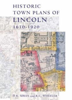
This book collects together early maps of Lincoln, and demonstrates their importance in describing the changing geography of this historic city, and also the development of cartography and its increasing application of scientifictechniques for improved accuracy and precision. Speed published the earliest surviving map of the area in 1610; his work was followed in 1722 by that of William Stukeley, whose map concentrates on historical features. The nineteenth century saw Lincoln mapped a number of times, by William Marrat (1814-17) and shortly afterwards by James Sandby Padley and the Ordnance Survey. It was the electoral reforms of the 1830s that drove the next map-makers to defineward and parish boundaries, the details of which required a larger scale than previous works. Then in 1842 Padley published his remarkable Large Map of Lincoln. The collection ends with the OS map of 1920, a detailed record of the city scaled at six inches to the mile, where modern Lincoln is clearly visible.
Format:Hardcover
Language:English
ISBN:090150369X
ISBN13:9780901503695
Release Date:December 2004
Publisher:Lincoln Record Society
Length:128 Pages
Weight:2.24 lbs.
Dimensions:0.6" x 9.4" x 13.0"
Customer Reviews
0 rating
Copyright © 2026 Thriftbooks.com
Terms of Use | Privacy Policy | Do Not Sell/Share My Personal Information | Cookie Policy | Cookie Preferences | Accessibility Statement
ThriftBooks ® and the ThriftBooks ® logo are registered trademarks of Thrift Books Global, LLC
ThriftBooks ® and the ThriftBooks ® logo are registered trademarks of Thrift Books Global, LLC
