
Historic Maps and Views of Boston
No Customer Reviews

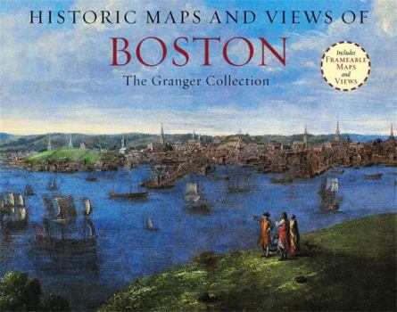
Historic Maps and Views of Boston contains twenty-four historic maps and views of Boston and its environs? Dating from the 1600s through the present? Ready for framing in a custom format or in a standard 11? x 14? frame. This stunning and fascinating selection of images from The Granger Collection includes the first surviving map of Boston (and also the first to be printed in America), an engraving by Paul Revere of the British landing in 1768, a bird's-eye view of the City, color photographs of the swan boats in the Public Garden, and stunning oil paintings of Boston Harbor and Columbus Avenue. Each image's original printing information is provided, as well as additional information that places it in historic context and further illuminates its qualities. Each image is exquisitely reproduced to show off its color and detail. The perfect gift for lovers of travel, history, or art.
Format:Paperback
Language:English
ISBN:1579129161
ISBN13:9781579129163
Release Date:October 2012
Publisher:Black Dog & Leventhal Publishers
Length:56 Pages
Weight:1.65 lbs.
Dimensions:0.7" x 11.0" x 14.0"
Customer Reviews
0 rating
Copyright © 2025 Thriftbooks.com
Terms of Use | Privacy Policy | Do Not Sell/Share My Personal Information | Cookie Policy | Cookie Preferences | Accessibility Statement
ThriftBooks ® and the ThriftBooks ® logo are registered trademarks of Thrift Books Global, LLC
ThriftBooks ® and the ThriftBooks ® logo are registered trademarks of Thrift Books Global, LLC
