
Collins Scotland Handy Road Atlas (International Road Atlases)
No Customer Reviews

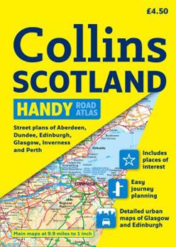
This easy-to-use, handy A5 sized road atlas is your ideal companion for navigating around Scotland. It has extremely clear, route planning maps of Scotland, detailed city plans of the major cities and... This description may be from another edition of this product.
Format:Paperback
Language:English
ISBN:000725461X
ISBN13:9780007254613
Release Date:February 2010
Publisher:HarperCollins UK
Length:72 Pages
Weight:0.05 lbs.
Dimensions:8.5" x 0.2" x 6.0"
Customer Reviews
0 rating
Copyright © 2026 Thriftbooks.com Terms of Use
| Privacy Policy | Do Not
Sell/Share My Personal Information | Cookie Policy | Cookie Preferences | Accessibility Statement
ThriftBooks® and the ThriftBooks® logo are registered trademarks of Thrift Books Global, LLC
ThriftBooks® and the ThriftBooks® logo are registered trademarks of Thrift Books Global, LLC
