


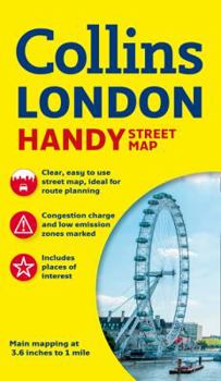
Collins Handy Street Map London
No Customer Reviews

This Collins Map of London is clear and easy to read yet contains a lot of detail, presented in a handy compact format. This attractive map, ideal for both tourists and residents, and updated for 2016, has an extensive area of coverage and displays a wealth of detail - all for only 2.99 a copy. It is fully indexed and has a fully updated London underground map conveniently located on the back cover. INCLUDES- Fully classified roads.- Colour-coded buildings.- Postal districts and boundaries clearly depicted.- Full indexes to street names, place names and places of interest. AREA OF COVERAGEExtends from Hampstead in the north to Clapham in the south and from Hammersmith in the west to Greenwich in the east. SCALE1:17,500 (3.6 inches to 1 mile).
Format:Map
Language:English
ISBN:0008136645
ISBN13:9780008136642
Release Date:June 2016
Publisher:HarperCollins UK
Length:1 Pages
Weight:0.25 lbs.
Dimensions:0.3" x 4.1" x 7.6"
Related Subjects
TravelCustomer Reviews
0 rating
Copyright © 2026 Thriftbooks.com
Terms of Use | Privacy Policy | Do Not Sell/Share My Personal Information | Cookie Policy | Cookie Preferences | Accessibility Statement
ThriftBooks ® and the ThriftBooks ® logo are registered trademarks of Thrift Books Global, LLC
ThriftBooks ® and the ThriftBooks ® logo are registered trademarks of Thrift Books Global, LLC
