


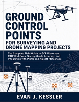
GROUND CONTROL POINTS FOR SURVEYING AND DRONE MAPPING PROJECTS: The Complete Field Guide to GCP Placement, RTK Workflows, Survey-Grade Accuracy, and Integration with Pix4D and Agisoft Metashape

GROUND CONTROL POINTS FOR SURVEYING AND DRONE MAPPING PROJECTS
The Complete Field Guide to GCP Placement, RTK Workflows, Survey-Grade Accuracy, and Integration with Pix4D and Agisoft Metashape
By Evan J. Kessler (Independently published)
A clean orthomosaic may look professional, but if the control points are poorly placed, the coordinate system is wrong, or checkpoints are misunderstood, the final map may not be reliable. This practical field guide helps drone operators, survey technicians, GIS users, engineers, construction professionals, and mapping beginners understand how accurate drone mapping is built from the ground up.
Ground Control Points for Surveying and Drone Mapping Projects explains GCP placement, RTK and PPK workflows, GNSS field practices, coordinate systems, datums, checkpoints, RMSE, target design, flight planning, Pix4D workflows, Agisoft Metashape workflows, troubleshooting, reporting, and professional deliverables in clear, practical language.
Inside, you will learn how to:
Plan stronger GCP networks before fieldwork beginsChoose better target locations for real project conditionsUnderstand GCPs, checkpoints, RMSE, RTK, PPK, datums, and geoid modelsMeasure control points more carefully using GNSS, RTK, PPK, total station, and leveling workflowsAvoid common coordinate system and elevation reference mistakesUse GCPs correctly in Pix4D and Agisoft MetashapeRead accuracy reports with greater confidenceTroubleshoot high RMSE, weak checkpoints, poor distribution, and processing errorsPrepare professional field logs, accuracy statements, and final deliverablesThis book is not a generic drone flying guide. It is a practical workflow manual for readers who want to move beyond attractive aerial images and produce better-controlled, better-documented mapping outputs.
If you want to understand how field decisions, control strategy, software processing, and validation work together, this guide gives you a clear path from GCP planning to final project delivery.
Customer Reviews
ThriftBooks ® and the ThriftBooks ® logo are registered trademarks of Thrift Books Global, LLC
