
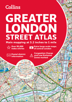
Greater London Street Atlas
No Customer Reviews

A definitive guide to the streets of London.
The ultimate Collins street atlas of London, featuring incredibly detailed street level maps, with more than 40 categories of information, covering 1660 square miles in and around London and with more than 95,000 street names.
Includes airport plans, London Underground Map, congestion charges and low emission zone information.
Full index to street names and places of interest, including hospitals, schools, colleges and stations.
Scales used
- 1:10,000 Central area, 1:20,000 Main area, 1:63,360 Urban maps
Format:Paperback
Language:English
ISBN:0008370001
ISBN13:9780008370008
Release Date:August 2020
Publisher:Collins
Length:484 Pages
Weight:0.05 lbs.
Dimensions:11.7" x 1.0" x 8.3"
Customer Reviews
0 rating
Copyright © 2026 Thriftbooks.com
Terms of Use | Privacy Policy | Do Not Sell/Share My Personal Information | Cookie Policy | Cookie Preferences | Accessibility Statement
ThriftBooks ® and the ThriftBooks ® logo are registered trademarks of Thrift Books Global, LLC
ThriftBooks ® and the ThriftBooks ® logo are registered trademarks of Thrift Books Global, LLC
