
Great Britain Handy A-Z Road Atlas 2020 (A5 Spiral)
No Customer Reviews

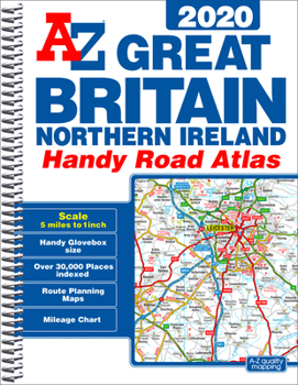
This A-Z map of Great Britain and Northern Ireland is a full colour, spiral bound, compact (approximately A5) handy road atlas.*Fully updated for 2020*170 pages of clear detailed road mapping at a mainland map scale of 5 miles to 1 inch*Mileage chart*Channel Tunnel terminus maps*Index to cities, towns, villages, hamlets and major destinations*Map reference information also in French and German*Lies flat when open*Easily stored in a glove box or door pocketInstantly recognizable and easy to use, the road mapping has been specifically tailored for the smaller scale featuring:*Clear standard road classification colours for easy identification*Motorway junction symbols*Under construction and proposed roads*Primary route destinations*Service areas*National and county boundaries*A wide range of tourist and ancillary information, including Blue Flag BeachesThis A-Z Handy Road Atlas of Great Britain and Northern Ireland is the perfect choice for those wanting a compact spiral bound publication with A-Z quality road mapping.
Format:Spiral-bound
Language:English
ISBN:1782572708
ISBN13:9781782572701
Release Date:May 2019
Publisher:Geographers' A-Z Map Company Ltd.
Length:256 Pages
Dimensions:5.6" x 7.6"
Related Subjects
TravelCustomer Reviews
0 rating
Copyright © 2025 Thriftbooks.com
Terms of Use | Privacy Policy | Do Not Sell/Share My Personal Information | Cookie Policy | Cookie Preferences | Accessibility Statement
ThriftBooks ® and the ThriftBooks ® logo are registered trademarks of Thrift Books Global, LLC
ThriftBooks ® and the ThriftBooks ® logo are registered trademarks of Thrift Books Global, LLC
