
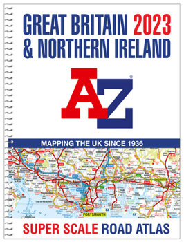
Great Britain A-Z Super Scale Road Atlas 2023 (A3 Spiral)

Find your way around Great Britain with this fully revised and updated A3-size road atlas.
A large scale A3-size, easy-read, spiral bound road atlas, now fully revised and updated. Clear detailed road mapping at a mainland map scale of 2.5 miles to 1 inch, 1.58 km to 1 cm.
This large format road atlas includes the following
11 pages of main route mapping covering Greater London, Birmingham and ManchesterRoute planning mapMileage chart with average journey timesInformation on motorway junctions with limited interchanges70 city and town centre street plans16 port and airport plansChannel Tunnel terminus mapsIndex to cities, towns, villages, hamlets, major destinations and selected places of interest with postcodes for sat-nav useMap key also in French and GermanInstantly recognisable and easy to use, A-Z road mapping includes the following features:
- clear standard road classification colours for easy identification
- full motorway junction detail
- under construction and proposed roads
- primary route destinations
- service areas
- selected truckstop locations
- national and county boundaries and a wide range of tourist and ancillary information, including Blue Flag Beaches
A combination of a great map scale, large book size and a spiral binding makes this a popular choice for those wanting superb map clarity in an easy to keep open publication.
Related Subjects
TravelCustomer Reviews
ThriftBooks ® and the ThriftBooks ® logo are registered trademarks of Thrift Books Global, LLC
